Case Study – The old Vicarage Macclesfield
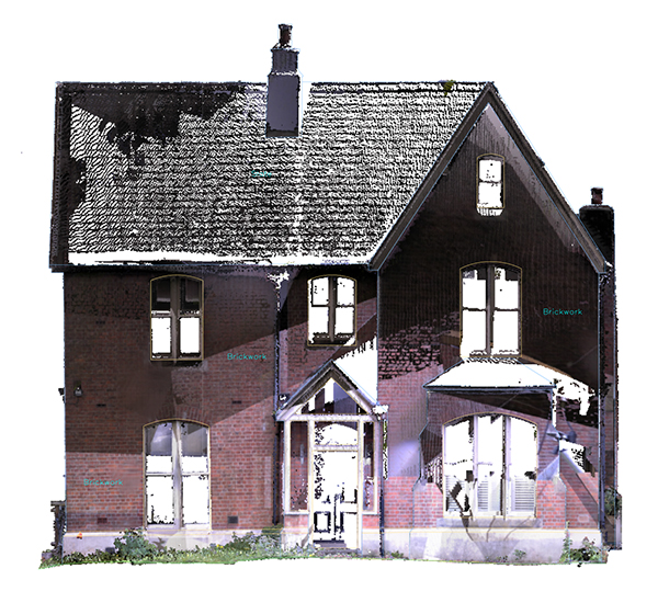
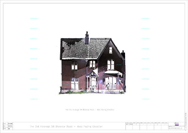
A contact of ours at BNI recommended us recently for a residential job to provide a detailed topographical 2D plan, elevation details, 3D laser scan and accurate floorplans for historic private residential property preparing to undergo significant modernization.
The Issue
While obtaining a topographical 2D plan, elevation and accurate floorplans details was always the plan for the architects, the people they initially engaged returned less than the required information. A contact of the homeowner, and a member of BNI, Maria Bryceland made a recommendation to the architects that they contact us at UTSS.
Our Approach
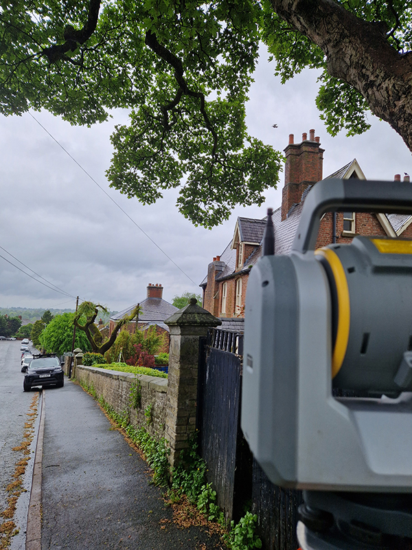
While this job was slightly different to our work in commercial or public spaces, we approached the preparation in a similar way. First, we assessed the area, and identified all hazards on the site. We used our total station and GNSS survey equipment along with our 3D laser scanner to provide a detailed survey of the building from the outside and then proceeded to scan the internal spaces.
The Result
Putting all the scans together with the data captured using traditional techniques allowed us to build a really detailed 3D scan of the external face of the building and internal spaces, including accurate floorplans.
It is crucial to have accurate plans when you are mapping out architectural work. This means that the architects can make precise estimates of time, materials and labour requirements and give their client an accurate image of what the build will look like when it is finished.
Clients we've worked with
