Catesby Estates: Using a 3D scanner mounted on a 15m pneumatic pole to enable the removal of two spans of 132kv overhead line on towers
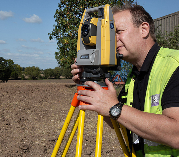
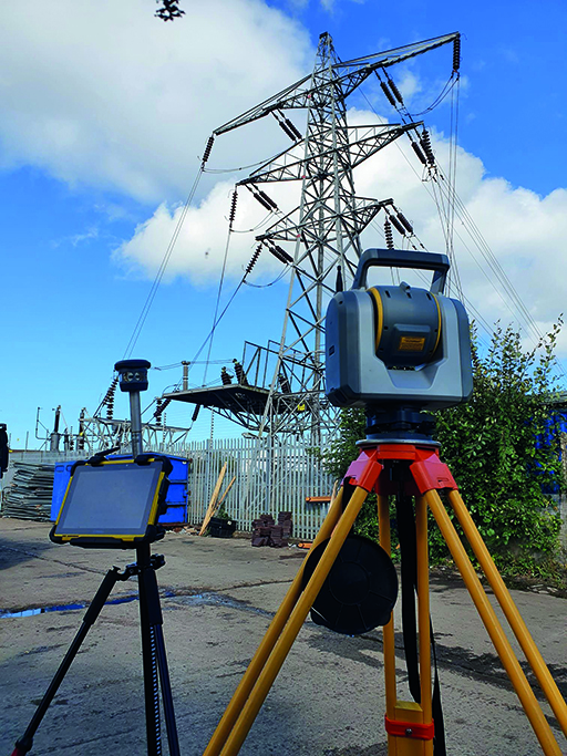
Overhead line (OHL) surveys are the bread and butter of services we offer at UTSS. These types of surveys allow us to provide vital data, allowing us to create accurate design models of solutions for a range of services including cable avoidance, utilities and vegetation management.
The Issue
Our Approach
Firstly, we identified all line routes and potential hazards on site. Using a GPS and theodolite we recorded all ground and vertical features including slope distance, zenith angle and the horizontal distance of the slope. The resulting figures allowed us to produce a ground and line design map.
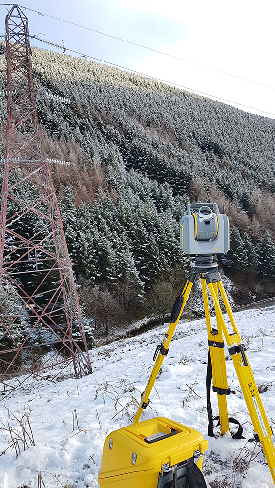
For us to view the overhead powerline without entering the landowner’s property we used a 3D scanner mounted on a 15m pneumatic pole, giving us an aerial view of the gardens. For the areas that were accessible, we undertook some standard tripod-based scans. We did look at alternative methods of execution such as:
- helicopter LiDAR solution
- fixed wing LiDAR solution
- 3D laser scan – good solution but wouldn’t capture the data within the fenced garden areas
The Results
Ultimately, UTSS bridged the gap between practicality and affordability for the client whilst also demonstrating the variety of approaches to an OHL survey.
Clients we've worked with
